Up Ron & Marjolijn's holiday pictures » 2013-03 Venezuela » 07-Ciudad Bolivar Prev Next Slideshow

 Previous image  Next image  Index page  Original Image [03-License plate of Venezuela.jpg - 1.1MB]


01-The Orinoco River at sunrise
02-The ferry
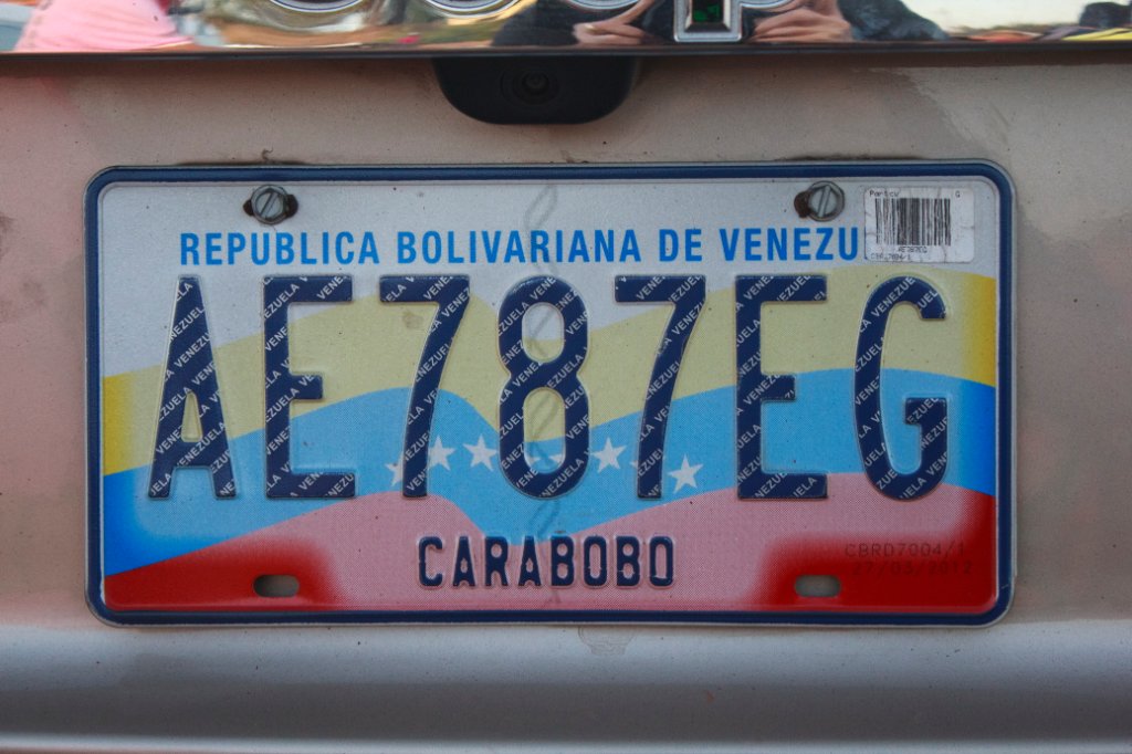
  03-License plate of Venezuela.jpg  
04-On the other side of the river
05-Sandstone hills
06-People like to put the wood on fire
07-Happy birthday
08-Big tod
09-Fruit stall
10-Paseo Orinoco boulevard
11-On Mirador Angustura
12-The Orinoco River from Mirador Angustura
13-On Mirador Angustura
14-The Orinoco River from Mirador Angustura
15-Paseo Orinoco boulevard

03-License plate of Venezuela Download Original Image
Latitude: N 6°12'58,98" | Longitude: W 67°25'51,65" | Altitude: 46 metres | Location: El Burro | City: Puerto Páez | State/Province: Estado Bolívar | Country: Venezuela | Copyright: Ron Harkink | See map
Total images: 33 | Help